Oghuz District
- 12-04-2025, 12:55
- Oğuz
- Elnur Nəciyev
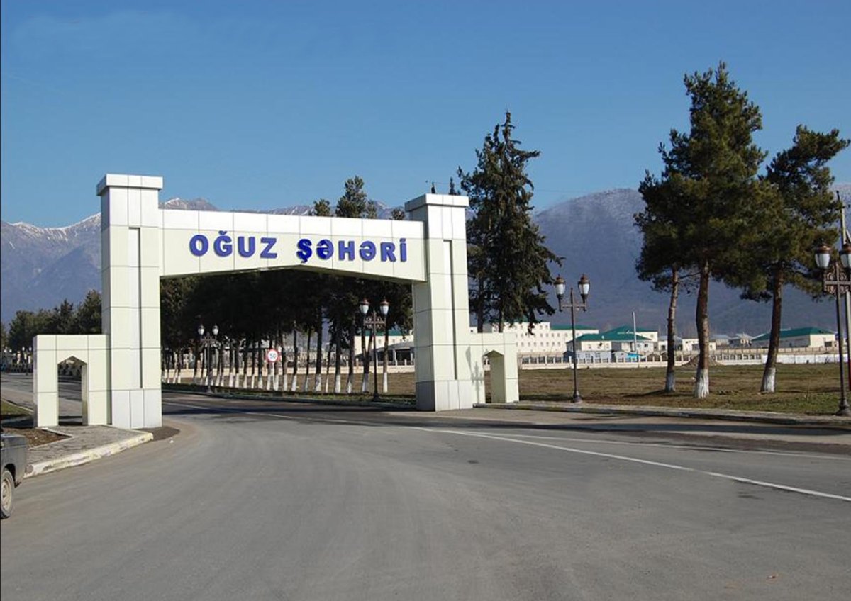
Oghuz District (known as Vartashen District between 1930–1991) – was established as an administrative district within the Republic of Azerbaijan on August 8, 1930. Located on the southern slopes of the Greater Caucasus, it borders the Russian Federation (Republic of Dagestan) to the north, Gabala and Agdash to the east, and Sheki District to the south and west. The area covers 1077 square kilometers. The administrative center is the town of Oghuz. Until 1961, the district center Oghuz (Vartashen) was a village; from 1961 to 1968 it was considered an urban-type settlement, and in 1969 it was granted city status under district jurisdiction. In February 1991, during the first session of the Supreme Soviet of the Republic of Azerbaijan, the names of the district and the town were changed to Oghuz.

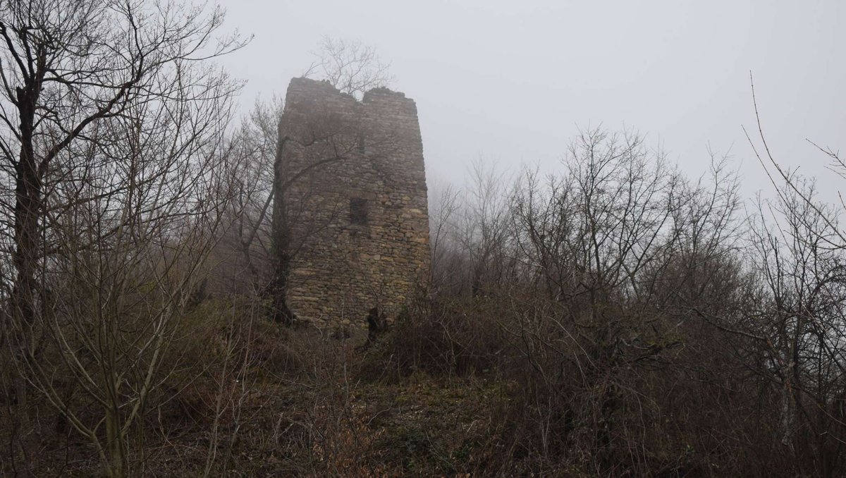
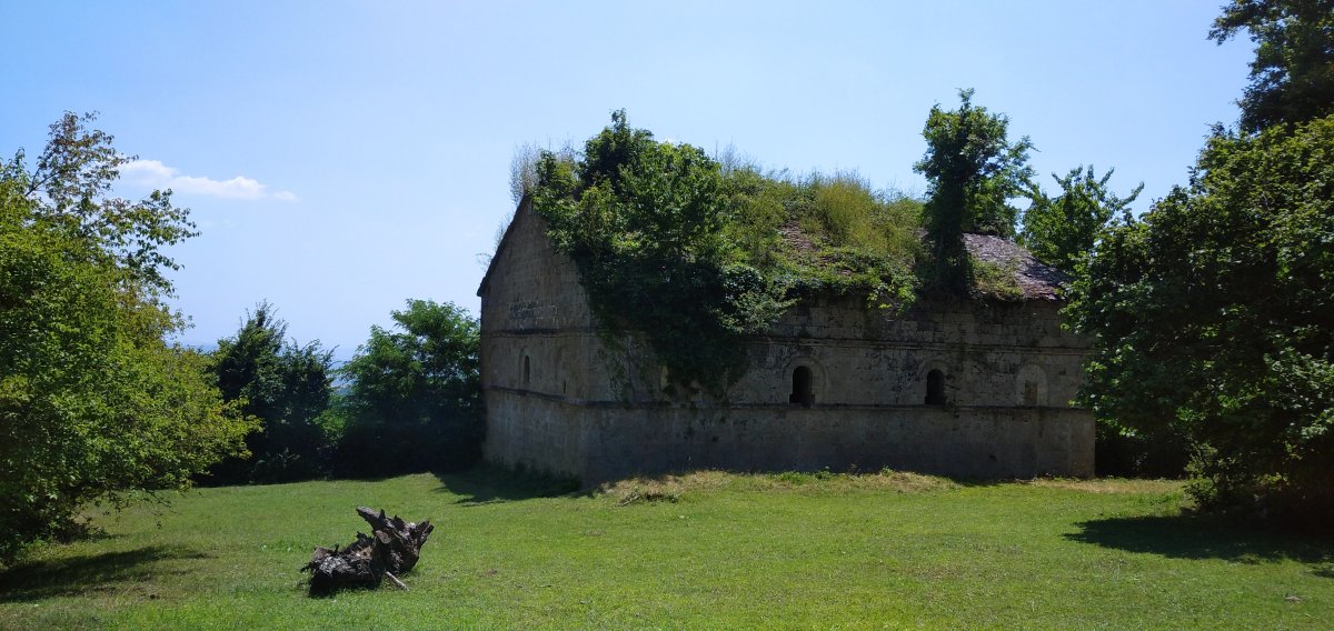
Archaeological research conducted in 1956–1959 and in recent years has revealed material and cultural artifacts confirming that the region has been densely populated since the Neolithic and Eneolithic periods. A first-millennium BC site southeast of the village of Kerimli, Bronze and early Iron Age remains in Oghuz city, necropolises from the 4th to 1st centuries BC north of Qarabaldır village, the 7th-century Khachmaz Gavur Fortress, the 9th-century Mukhas Tower, Albanian religious monuments from the Middle Ages in Oghuz city and Jalut village, and place names like Oghuz, Maza, Padar, Sazur, and Shahra, all testify to the region's ancient heritage.
The territory of the present-day Oghuz District was part of the Qabala Sultanate and later the Nuxa Uyezd in different historical periods.
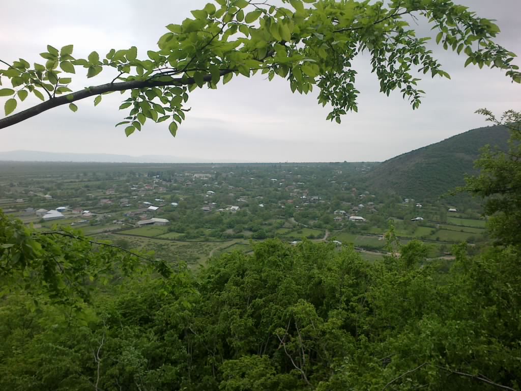
The northern part of the district belongs to the southern slopes of the Greater Caucasus mountain range, the central part to the Ganykh-Haftaran valley, and the southern part to the Ajinohur foreland. The maximum altitude of the Greater Caucasus range in the area is 3876 meters (Mount Malgamud). Jurassic and Cretaceous deposits are found in the northern part of the district, while the central and southern parts are mainly covered with Quaternary and partly Neogene deposits. There are clay deposits and mineral springs. The climate is mildly warm and semi-dry subtropical in the plains and foothills, and cold in the high mountainous areas. Average annual temperatures range from -10°C to +2°C in January and from +6°C to +26°C in July. Annual precipitation is 450–1600 mm. Rivers: Ayrichay, Alican, Galachay, Dashagylchay, and others.
The district features mountain-meadow, mountain-forest, and alluvial-meadow soils. There are alpine and subalpine meadows. Forests cover 43,497 hectares of the area, with oak, chestnut, hornbeam, and other trees being prevalent. Fauna includes deer, roe deer, mountain goat, wildcat, wolf, bear, wild boar, fox, hare, and birds such as pheasant and partridge.
Oghuz is primarily an agricultural district. Crop farming, animal husbandry, fruit growing, vegetable farming, and beekeeping are well developed. There are also small processing and manufacturing enterprises.
The district has 2 hospitals, 10 outpatient clinics, 34 general education schools, 1 vocational school, 18 preschool institutions, 27 clubs, 33 public libraries, 2 museums, as well as recreational parks, tourist zones, a sports complex, and more.
There are archaeological and architectural monuments in the district, including burial mounds (early 1st millennium BC), fortresses (Antiquity), residential sites (Middle Ages), and a sacred site (7th century).