Kish Village
- 27-12-2024, 13:21
- Villages
- Elnur Nəciyev
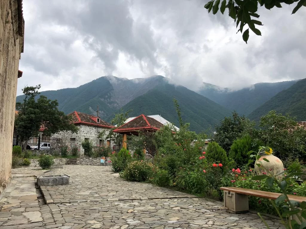
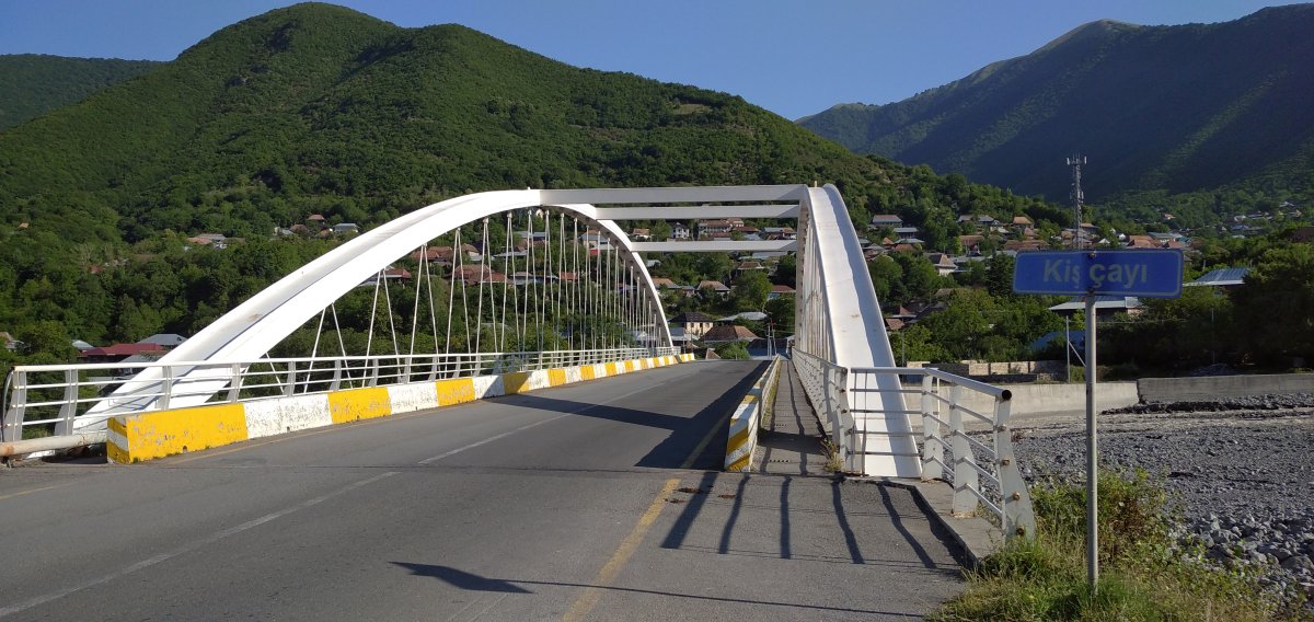
Kish village is located 5 km from the city of Shaki. Compared to Shaki, the village possesses a more favorable geographical position. Its elevated location has protected it from the adverse effects of natural phenomena. The surrounding mountains and valleys have created a suitable environment for its defense.
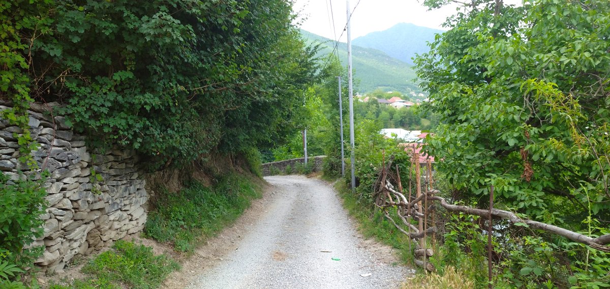
A small mountain river, the Gurjana, flows through the center of Kish. The river that runs along the right bank of Kish and separates it from Shaki is the Kish River, locally known as the "Great River." This river has tributaries above the village called Dogrunca and Damarchin (also referred to as the "Hot River"). Kish is a historic village.
Interestingly, the 1590 source titled “The General Register of the Iravan Province” mentions both Shaki and the village of Ortakish in the Sisyan district of Western Zangezur. This indicates a link between the Christian histories of two historical regions of Azerbaijan and further confirms the connection of Shaki to the name of the Sak Turks. The earliest form of the toponym that evolved into Sisian is, in fact, Sisakan.
Today, Kish is perhaps one of the most studied villages among the settlements of Shaki. Toponyms along the rivers flowing through the village have been recorded and researched. For example, toponyms are known along the Great River—the main water source of Kish—as well as along the Dogrunca and Damarchin rivers, and the Gurjana River, which runs through the center of the village. Examples include: Qolaban Mountain (locally known as the mountain inhabited by bears), Shaki plain, Alıölen valley, Kolludere, Garakhajseki, Gharadab river (or valley), Watermelon spring, Gizilgaya, Goytepe (Blue hill), Gizilbere (locally called the Dagestan post), Derechukhur, Tekechukhur, the Chukhadurmaz River (a left tributary of the Kish River), and Mount Chukhadurmaz (3561 m). To the left of Dolgunja: Aglıtala Mountain, Mustafa plain, Sariguney, Bandit settlement, Donuzja, Jivreyil, Laski (similar to Layısqı village), Laski’s plain, Jangishgini, Agsular, Erge rock, and Qurudereler (Dry valleys) have been recorded.
Along the right side of the Damarchin River: Mount Eydi, Hajilar plain, Small Hajirvan (meaning Haji İbrahim), Great Hajirvan, Sıgnakh, Shoveter, Darvazalar, Chayqarishan, Meshebashi, the Khudu Bridge, and Damarchin highland are located. On the left: Galaderesi, Gullatanlar, Givrıdashigelen, İridash, Pir rock, Garatorpag, Gala rock, Khutger, Hamzaayaylaghi, Kem, Saridash, Khurjunlar, and Asgerpapagi can be found.
On the right of the Gaynar River: Khan plain, Baydurud, İshginli valley, Girintov, and Chalbayır. On the left: Gyoturkhoja, Sagginlar (Sakhunlar), Shyud, Markhalgelen, Garagajli valley, Maral spring, Usuf’s place, and Garanemler.
To the right of the Gurcana River: Suddu akhi, Degalderesi, Qaltakh, Atushandere, Korbulag, Ashagityore, Tukharıtyore, Ahmedakhisi, Shumutepe, İmamakhisi, and Munjugludere. To the left: Yagnali valley, Uzunsarma, Chalmikh, Uchgojatalasi, Makhbrey, Great Makhbrey, Coldwater, Armutlu, Golbatandere, Quzeysarma, Noru spring, Qijali valley, Lower highland, Middle ridge, and Atuchan highland are located. Notable highlands in Kish include Khan, Chelengez, Bittija, Qoturlu, Qizildere, Goytepe, Donuzja, Kem, Khurjunlar, Gaynar, Maral spring, and Agsu highlands.
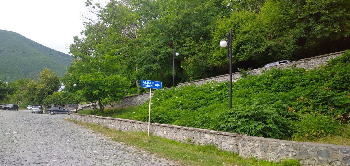
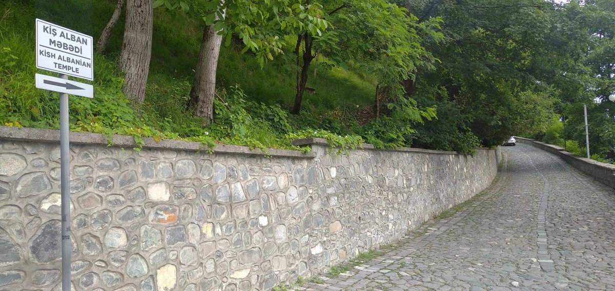
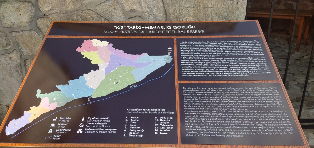
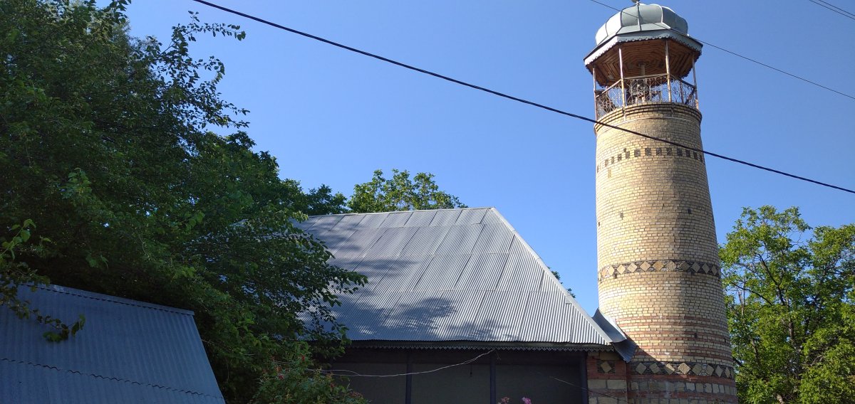
In addition to these toponyms, Kish village has 15 neighborhoods: along the Great River heading north are Dokhun, Tahirlar, Dere, and Jour neighborhoods. Along the Gurjana River, from bottom to top, are Yanikhlar, Salayushagi, Bedeler, and Tatar ushaghı neighborhoods. Between the Qurjana and the Great River, in the east of the village, in a river-crossed appearance from north to south, are Dodu ushaghı, Duluzlar (potters), Layishler (coppersmiths), Velemmedler, Khan Tamar, Maaflar, and Gavan neighborhoods. One of the most important monuments connected with the Albanian history of Kish is the Kish Church, located in the Maflar neighborhood. In addition to the Albanian temple, there is also the Galasan-Gorasan fortress, though it is located a bit away from the village, upstream of the Kish River.
The ancient neighborhoods and remnants of defensive walls speak to the ancient history of the village. The oldest foundation of the church was built in the 1st–3rd centuries CE on the remains of an earlier temple, possibly of pagan origin. Only after Christianity was officially adopted did the monument become a Christian site. The Kish Temple is most often associated with 5th-century events in historical sources.
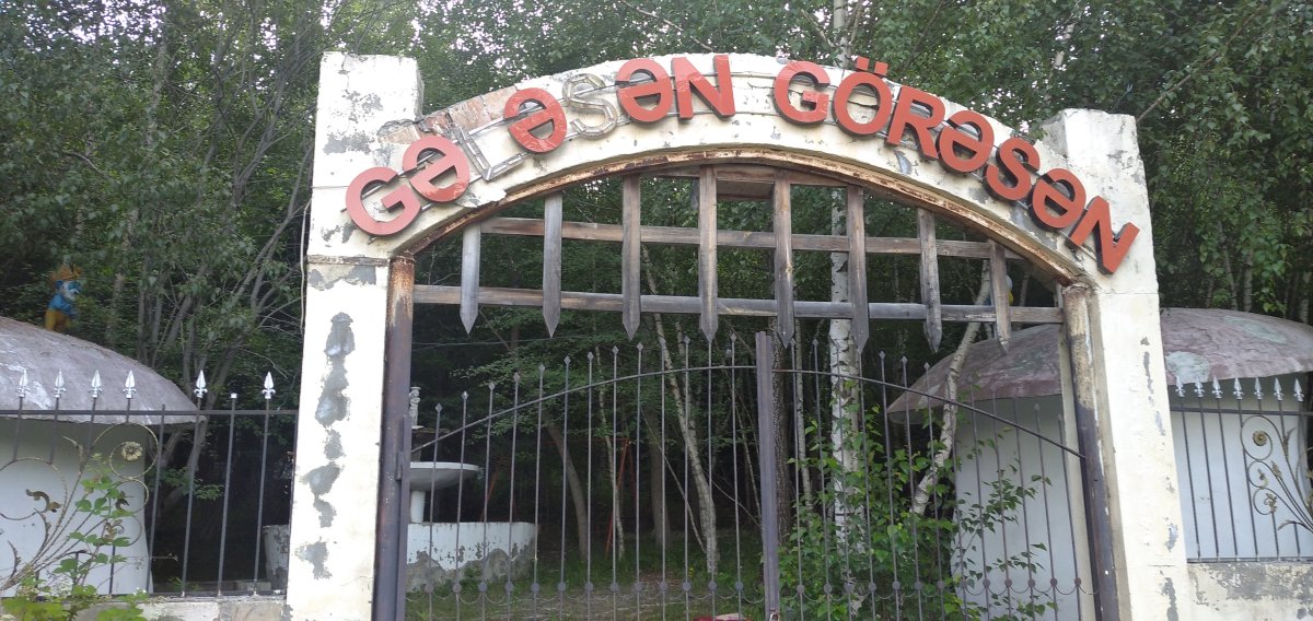
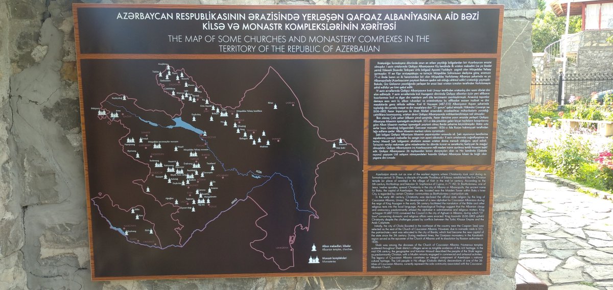
Kish was once the center of an episcopate. In the 1850s–60s, Armenians resettled in Shaki by Russians from the Caucasus repaired the Kish Church and altered its architectural features. Interestingly, the 1824 administrative record of Shaki city and region did not list a single Christian resident in Kish; the entire population was recorded as Muslim. This aligns with the presence of Islamic shrines such as Hashpirim Baba between Salayushagi and Bedeler neighborhoods, Jumay shrine in the Tatarushagi neighborhood, Mammad Baba shrine between Salayushagi and Bedeler, and Pir Gaya shrine located 7–8 km north of Kish and the Galasan-Gorasan fortress.
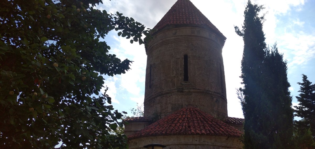
These sacred sites reflect both local traditions and Islamic elements. The Holy Eliseus Church in Kish (the Kish Temple) is classified as a single-nave church. The nave is the central part of a church, the main body extending from the entrance to the altar, often intersected by a transept. The church in Kish belongs to this architectural type. Albanian historian M. Kalankatlu wrote that Eliseus, appointed to spread Christianity in the East, came to Kish (then called Gis), built a church, and offered a bloodless sacrifice. This site became the starting point for all Eastern churches and the source of Christianity for Easterners. The church stands elevated on the bank of the Kish River and is best seen from the road to Markhal. In the 1920s, the church was also used as a mosque and a school.
Local legends include one about a large 5–6-meter-high stone near the monument believed to cure diseases, and another about a young woman's grave found during farming work, which was reburied by locals after a mullah was summoned out of fear. The church has a hemispherical apse—a semicircular or polygonal architectural element covering the altar. The interior follows the style of Albanian hall churches. The elongated worship hall is divided into two parts by a pair of pilasters (architectural elements resembling columns attached to walls). The entrance is on the west wall, with windows on the west, east, and north walls. One of the two windows on the south wall is bricked up. The church consists of a large base and a tent-shaped dome tower above it. Discrepancies between the base and upper proportions reflect reconstruction. Built of limestone, the church walls are topped with a cornice. The entrance is framed with a double arch, and the windows are adorned with triple semi-arched profiles. The simple masonry and design elements speak to the monument’s antiquity. The Kish Temple’s domed hall style links it to the Mamrukh and Lekit churches. Its architectural style is characteristic of 4th–5th-century Albanian architecture.
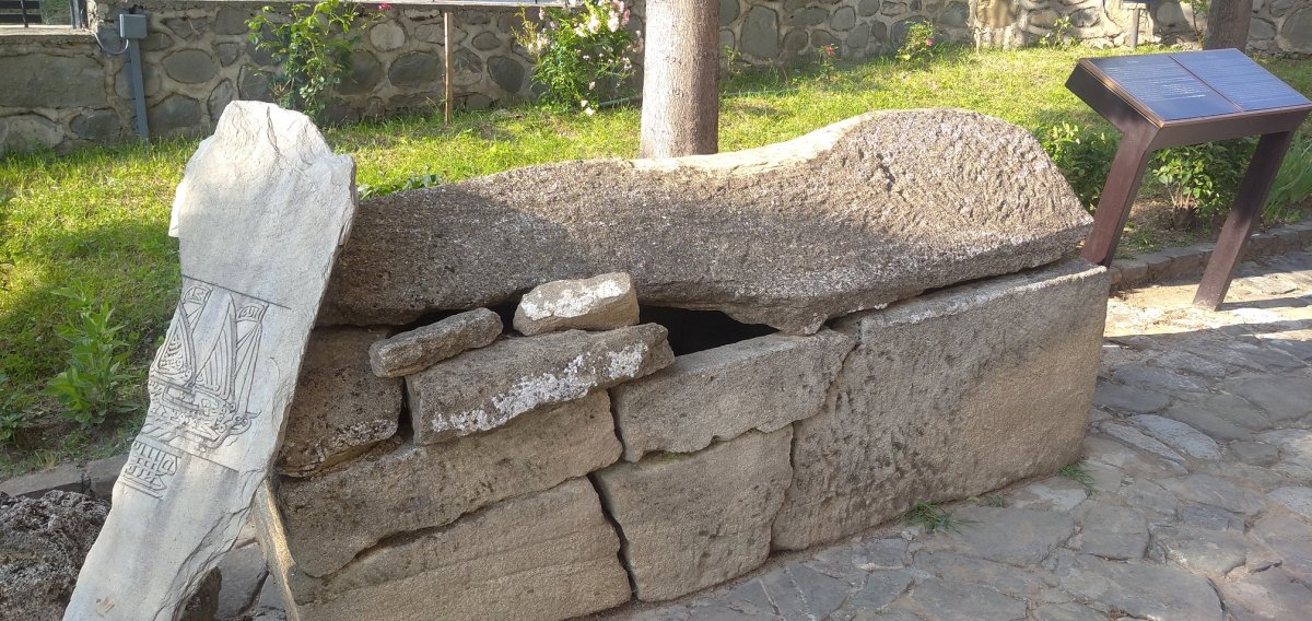
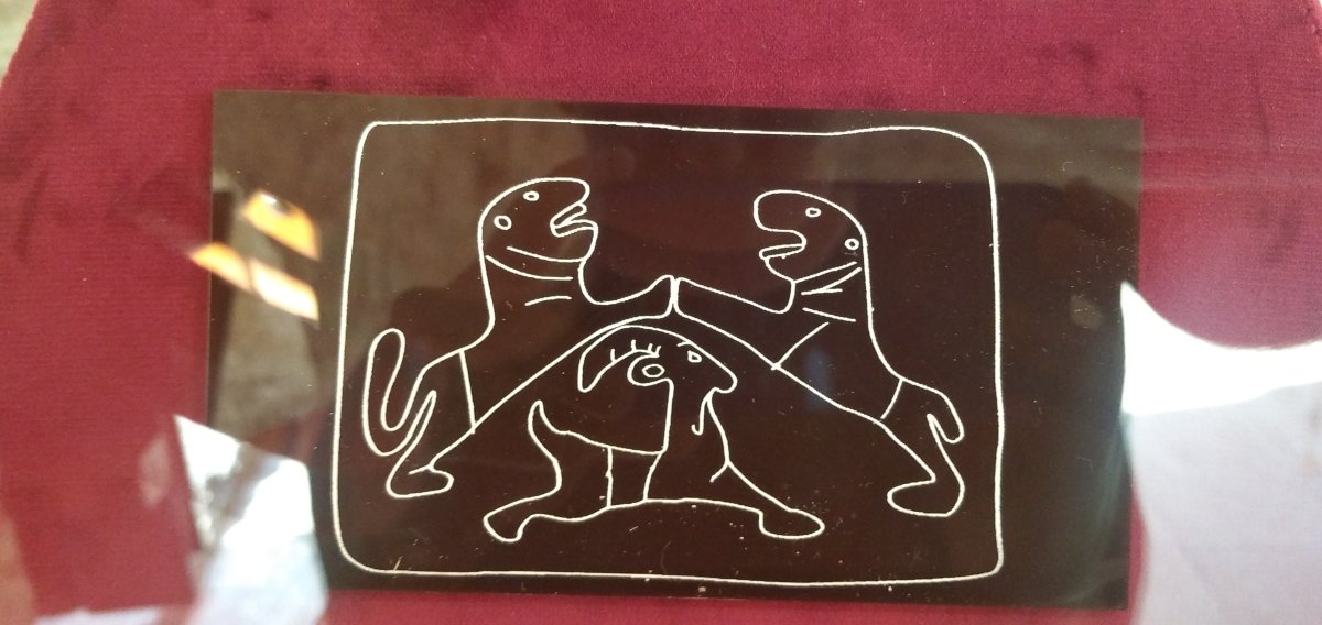
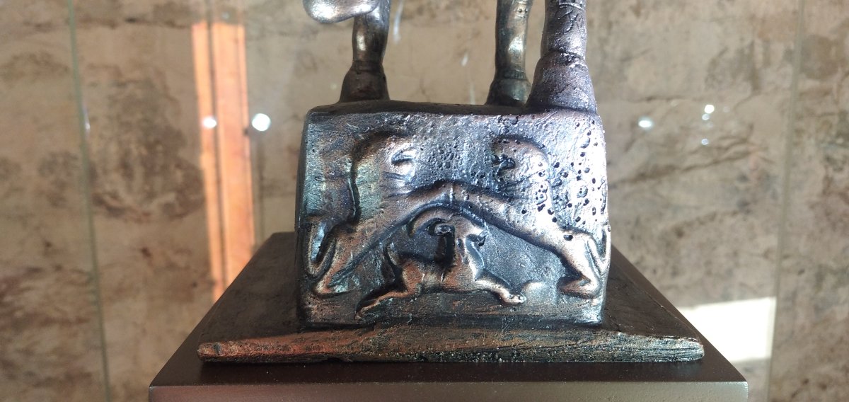
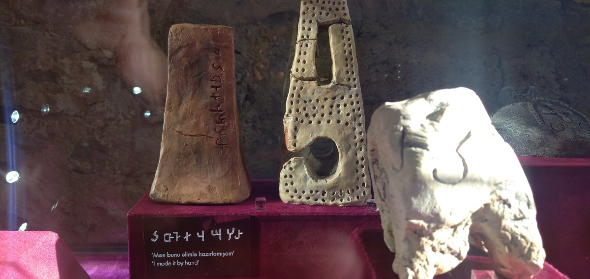
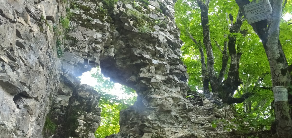
In February 2000, the Azerbaijan-Norway joint Kish project began. Archaeological excavations were carried out in 2000–2001. Sacrificial animal graves were found near the altar. Burials dating from the Bronze Age to the late Middle Ages were discovered. A rare 1st-century CE tomb was uncovered near the church entrance. The original structure was nearly rectangular, built from river stones, and dates to the 1st–3rd centuries. Only the foundation remains of the second construction phase. In the third phase, the church’s plan was changed to match canonical Christian designs. The apse floor was raised 20 cm above the hall. In the fourth phase, pilasters assumed a T-shape, and arch reinforcements were added. The apse was raised by another 30 cm. Churches in Shaki and Qakh share construction and decorative similarities. Churches in Küngüt and Bideiz villages resemble the Kish monument in technique and materials. Window frames and cornice profiles of the Kish Temple are identical to those of the Seven Churche and Zayzit churches. The first excavation near the church was done by A. Qaraahmaadov, who found two earth graves and a stone box grave. The eastern trench yielded ceramics and bricks from various periods, leading researchers to date the church to the 5th century. Fresco traces and a rectangular altar stone were also found. Archaeologist V.H. Kerimov uncovered three skeletons inside the church, dated to the 4th–8th centuries. Glass cubes and perfume containers were found in graves—Christian customs suggest these belonged to family members and were used for sacred offerings. A white cross-shaped artifact was discovered during excavations. Researcher Rashid Gyoyushov classified crosses into three Albanian types, while R.M. Vahidov categorized Mingachevir crosses into hand-held, mounted, and pendant types. Carbon dating of bones from various burial types (earth, stone-box, and chamber tombs) revealed that they date to 980–1060 CE. Kish once had a fortress, now only foundational remains survive in Salayuşağı neighborhood. Another significant historical site is the Galasan-Gorasan Fortress, located northeast of Kish, on the left bank of the Damarchin River, along a path extending east from Garadere forest and Ot Mountain. According to Decision No. 132 of the Cabinet of Ministers of Azerbaijan, dated August 2, 2001, it is registered under inventory number 322 as a 15th-century monument. While rectangular and circular towers are typical of the 6th–8th-century Keldek-Yavuz Fortress in Shaki, only rectangular towers characterize the 15th-century Galasan-Gorasan Fortress. In times of war, non-combatants and livestock were sheltered in hideouts. There are at least five such hideouts along the Kish River valley.