Mukhas village
- 28-12-2024, 22:52
- Villages
- Elnur Nəciyev
One of the villages located along the Albanian Road in the Oghuz District is Mukhas. According to Decision No. 727-IIQ of the National Assembly of the Republic of Azerbaijan dated September 1, 2004, the village of Muxas in the Oghuz District was separated from the administrative territory of the village of Bucaq, and a new administrative territorial unit—Mukhas village administrative unit—was established with the village of Mukhas as its center.
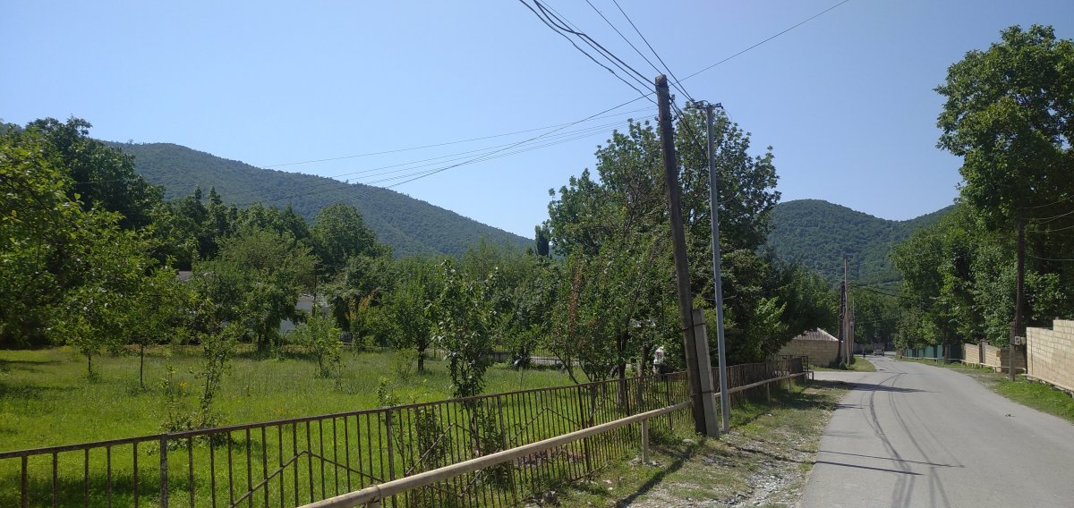
The village is located 16 km west of the district center, on the left bank of the Dashagilchay River, 3 km to the right of the Oghuz–Shaki highway, at the southern foothills of the Greater Caucasus mountain range. In the past, Mukhas was also known as Mukhas Bujaqli. In the toponymy of Turkic-speaking tribes, the element "mux" in river names indicates "low-water" or "dry," while in mountain names it conveys meanings such as "narrow, impassable, without a mountain pass, ravine-filled." The suffixes -as or -az frequently appear in the names of many rivers in Turkic toponymy. Thus, in the river names of Turkic-speaking peoples, "mux" signifies that the river has little water or is dry, and in mountain names, it expresses characteristics like narrowness, impassability, and ruggedness. The suffixes -as or -az are commonly found at the end of many river names in Turkic toponymy.
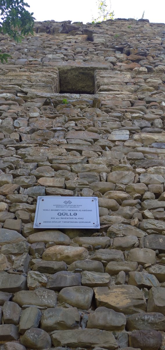
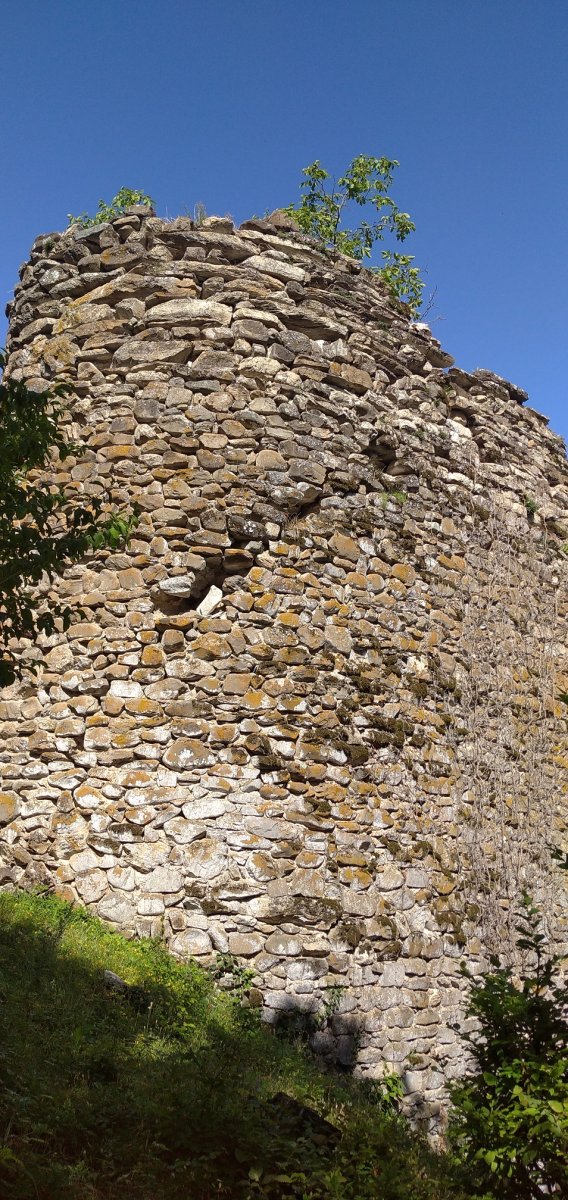
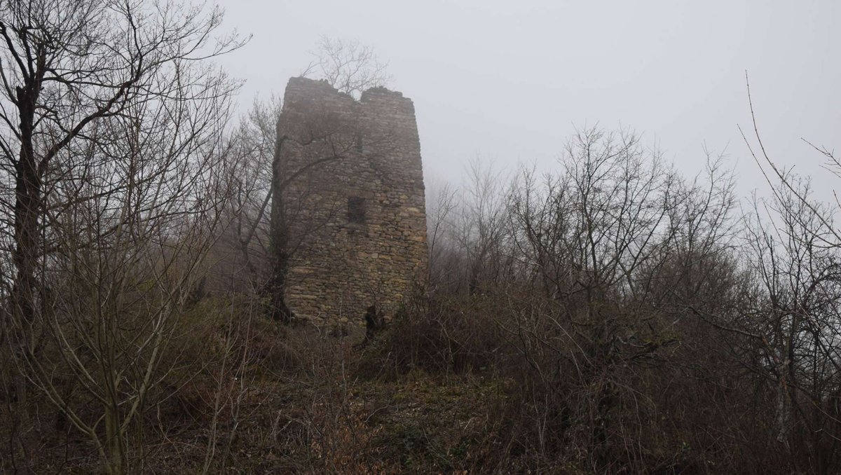
Within the village's territory stands a significant architectural monument: the famous Mukhas Tower (9th century).
The Mukhas Tower is located within the territory of the village, specifically to the north of Mukhas, in front of the Dashagil Pass. According to the Azerbaijan Soviet Encyclopedia, the monument dates from the 9th–13th centuries.